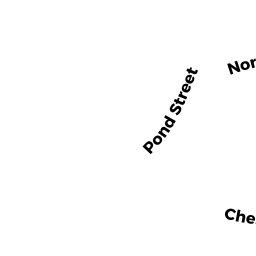
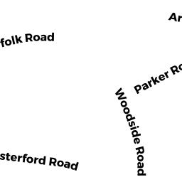
4 CHESTERFORD TR
Owner Information
TRINGALE RICHARD J + JUNE M
4 CHESTERFORD TERRACE
WINCHESTER, MA 01890


Property Details
4 CHESTERFORD TR is classified as a Single Family Residential (Colonial).
The primary structure on this property was built in 1933. There are 2,874ft2 of built area within this property. There is 2,874ft2 of residential/living space within this property. This property is listed as having 7 rooms.
4 CHESTERFORD TR is valued at $978,900. The land is valued at $563,100 and the structures are valued at $415,100. There is an additional valuation of $700 on this property.
This property is in Zone RDB. Confirm with local Zoning Board authorities to ensure there are no overlays or other easements on this property.
4 CHESTERFORD TR was last sold on Tuesday, August 4, 1970 for $0.
Assessment data from fiscal year 2021.
Flood Data
According to the FEMA National Flood Hazard Layer, this property does not appear to be in a flood zone. It may also be in an area not yet reviewed. Nonetheless, confirm this information prior to taking any action.
To view the flood hazards around this property, create a FEMA "Firmette" Map of the area around 4 CHESTERFORD TR.
Broadband Internet Providers
| Provider | Type | Bandwidth (mbps) | |
|---|---|---|---|
| Comcast | Cable | 1000 | 35 |
| HughesNet | Satellite | 25 | 3 |
| VSAT Systems, LLC. | Satellite | 2 | 1 |
| Crown Castle Fiber | Fiber | 0 | 0 |
| Viasat Inc | Satellite | 100 | 3 |
| Verizon New England Inc. | Fiber | 940 | 880 |
| GCI Communication Corp. | Satellite | 0 | 0 |
Broadband service provider data from December 2020.
Adjacent Properties
- 5 CHESTERFORD TR
Single Family Residential owned by BOURDEAU JOHN + AMY - 21 CHESTERFORD RD
Single Family Residential owned by MULLEN SHIRLEY R - 17 CHESTERFORD RD
Single Family Residential owned by VAN GEMEREN ERIC H + WENDY T - 25 CHESTERFORD RD
Single Family Residential owned by ZHOU ZHE + SHAOJUAN HUANG - 145 POND ST
Single Family Residential owned by POND REALTY TRUST - 12 NORFOLK RD
Single Family Residential owned by HO TOM + LUCIA D PHAM - 3 CHESTERFORD TR
Single Family Residential owned by MASSERY ANITA - 10 NORFOLK RD
Single Family Residential owned by HARRAH DAVID M + ELIZABETH R